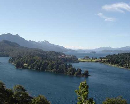
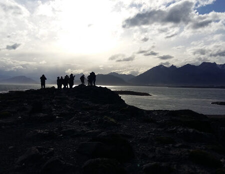
Whether you come from Salta or from Cafayate, the route to Cachi itself is pure beauty.
If you come from Salta take Route 68 then 33, running through the beautiful Gorge of Escoipe, the first visual impact on the way to the Calchaquíes Valleys. In this section the vegetation is abundant and almost wild.
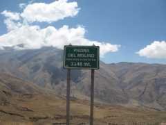 After a few kilometers the environment begins to change as the road gains altitude. It goes from 1000 meters to 2000, and the dryness of the stone begins to reign. It’s time to explore the amazing Cuesta del Obispo, with its curves and countercurves, up to the Stone Mill, at 3600 meters above sea level.
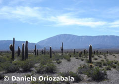 The next section, end of the tour, is the famous Tin Tin Line, which crosses the National Park Los Cardones. This line, drawn at an altitude of 3000 meters, was marked by the Indians and has been followed for centuries to traverse the vast desert of thistles. At about 20 km. of the beginning of this line, Cachi is located.
If you are coming from Cafayate then you will travel along the legendary Route 40, the same one going from La Quiaca to Cabo Virgenes in Santa Cruz.
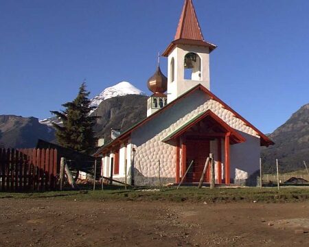
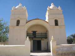 You will pass along the ghostly Gorge of Arrows and go through small villages that seem frozen in time: San Carlos, Animaná, Yacochuya, Molinos, Seclantás. In all these take your time to know at least the main square and the church. Some of them are true treasures of the colonial era!

